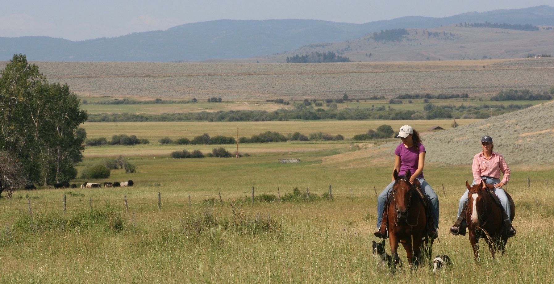
 Rangeland Analysis Platform
10-meter cover now available
Cover of shrubs, trees, bare ground, vegetation gaps, and perennial and annual herbaceous plants is now available at 10-meter resolution for the western U.S.
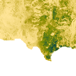
Learn MoreCurrent Herbaceous Plant Production Anomalies
Adjust the percentile to view areas with unusually high and low herbaceous plant production compared to that of the previous 30 years.
Big Data for Big Landscapes
The Rangeland Analysis Platform combines satellite imagery with thousands of on-the-ground vegetation measurements collected by BLM, NPS, and NRCS. The power of cloud computing and machine learning technology allows the platform to easily map vegetation across the United States.
Learn More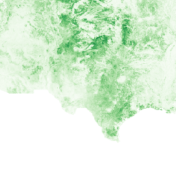
30-m vegetation cover
Study the abundance and distribution of shrubs, trees, bare ground, vegetation gaps, and perennial or annual herbaceous plants.
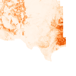
10-m vegetation cover
Study the abundance and distribution of shrubs, trees, bare ground, vegetation gaps, and perennial or annual herbaceous plants.
Annual aboveground biomass production
Study how much and where production has changed over the years.
16-day aboveground biomass production
Study how production has changed within the growing season.
Monitor Vegetation to Improve Rangelands
The Rangeland Analysis Platform provides powerful perspective and context for rangeland monitoring. Use it to develop new management strategies and to evaluate current or past management practices.
Intro Video